Blog
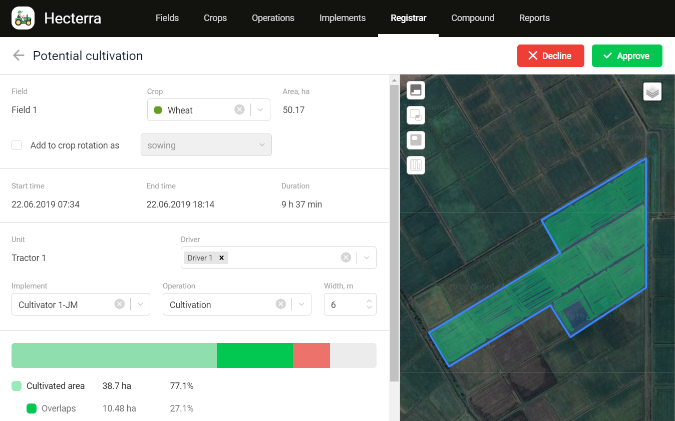
simpleRTK2B-SBC first RTK tracker enabling centimeter precision monitoring in Wialon cloud GPS/GNSS service
Gurtam with its Wialon online platform, is one of the leading providers of cloud services for monitoring of GPS/GNSS tracking devices. Applications like farming, public


simpleSSR coverage extended to Greece
As of this week many new customers will be able to enjoy centimeter level plug&play RTK positioning without the need of a base station or

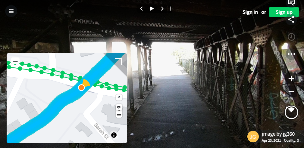
Collecting underground 360 imagery by bicycle with RTK+IMU simpleRTK2B-F9R
Today we are happy to share this customer project that makes use of u-blox ZED-F9R: GNSS RTK and 6-axis IMU fused together to achieve centimeter-level


How to share your base station with RTK2go NTRIP Caster
RTK2go is a free community NTRIP Caster created to allow you to publish your GNSS correction streams for others to use with their NTRIP Clients. It

Using 3 ZED-F9P to track object’s (or camera’s) location and orientation
Dear followers, Today we want to share this cool project from Pasi Nuutinmäki where you can see one of the use cases of 3xZED-F9P version

new u-center video tutorials on Youtube
If you prefer to watch videos rather than reading tutorials, have a look at our YouTube channel! We have started adding video tutorials for our

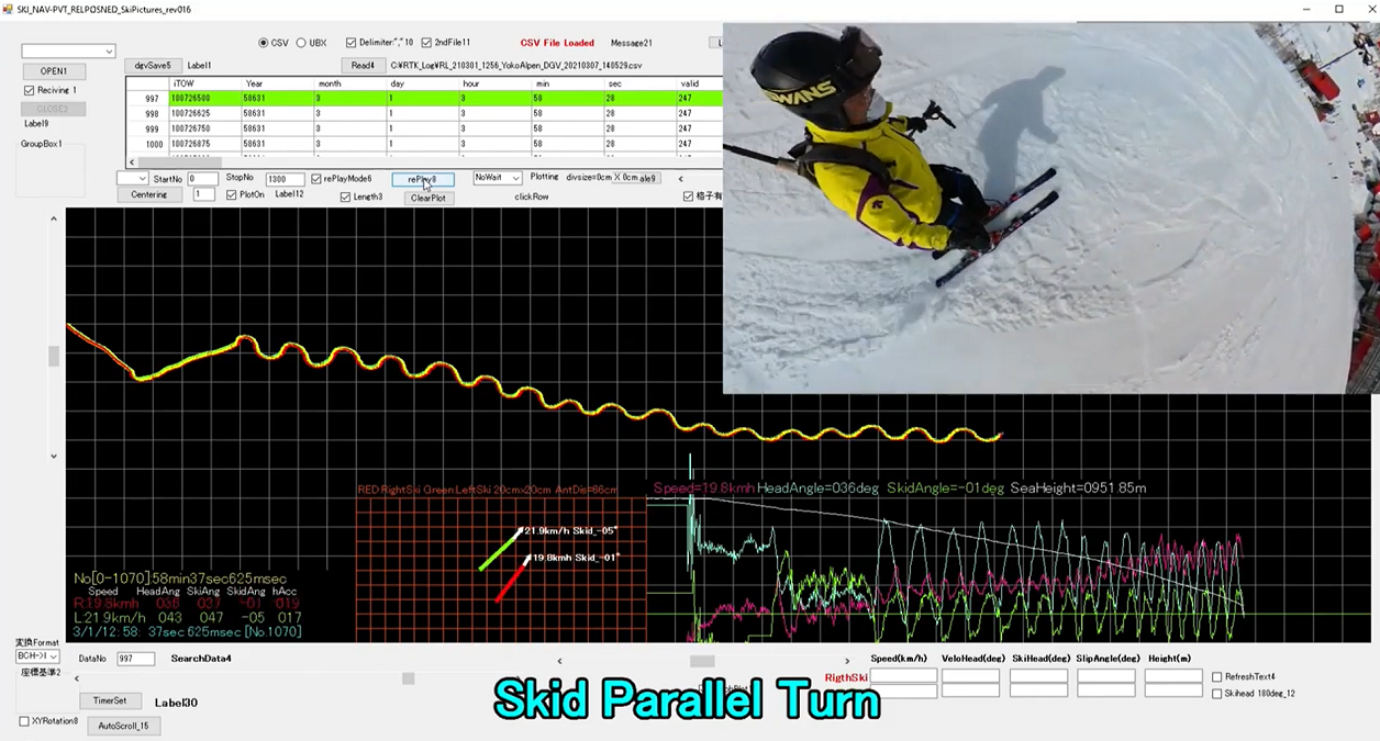
Ski turn analysis with RTK GPS
For the fans and professionals of alpine ski today we want to share the project developed by K.Matsuhashi from Japan. Mr. Matsuhashi had problems to

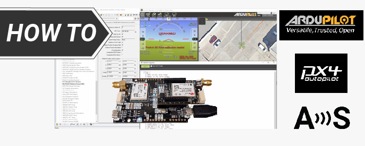
How to configure simpleRTK2B Heading – Basic Starter Kit and connect it to ArduPilot
Looking at the official Ardupilot forum we found many users having problems configuring their simpleRTK2B Heading with their ArduPilot. After some testing we prepared this tutorial to

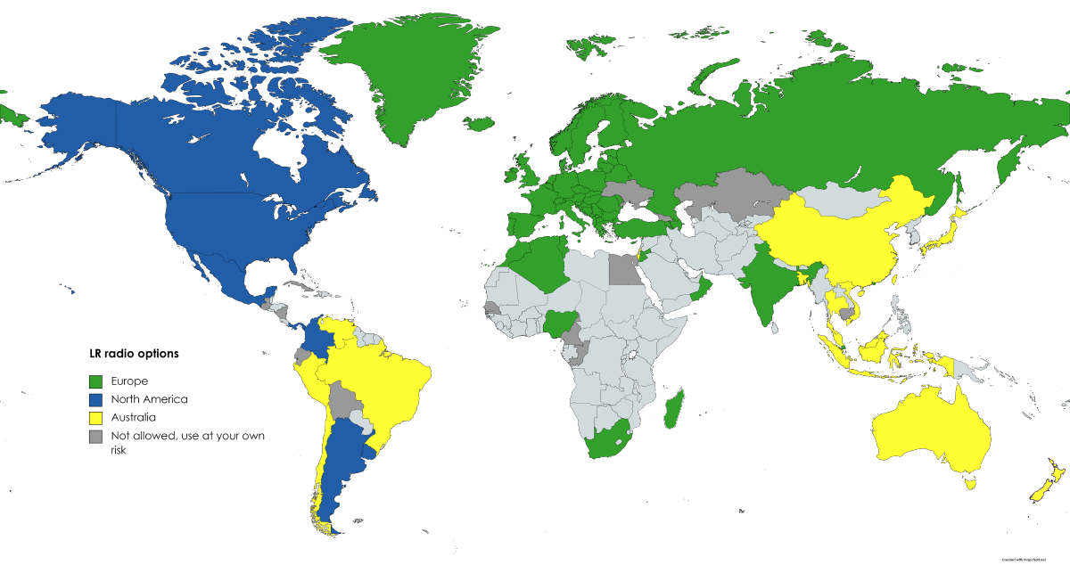
LR/XLR radios global country compatibility list
For naming simplicity, the following products: simpleRTK2B – Starter Kit LR simpleRTK2B – Starter Kit XLR Radio module Long Range (LR) + Antenna Radio module

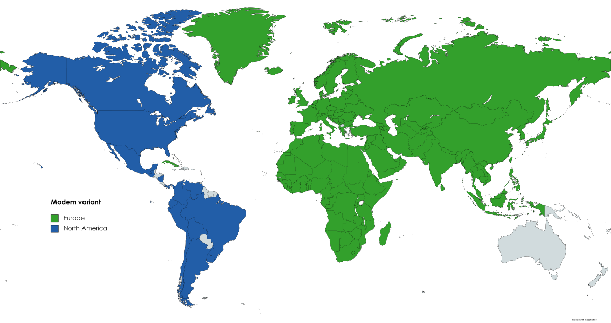
4G NTRIP Client global country compatibility list
For naming simplicity, the following products: simpleRTK2B V3 – 4G NTRIP Starter Kit 4G NTRIP Client are sold under variants for Europe / North America.But

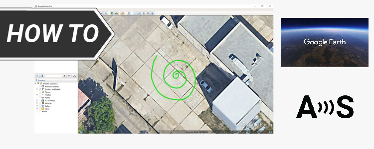
How to visualize GNSS RTK real-time data in Google Earth
In this tutorial we will show you how to visualize real-time positioning and tracking data in Google Earth with your simpleRTK2B series receiver. Required hardware:


How to export your survey work from your Android device to QGIS and AutoCAD
In this tutorial we will explain how to export your Android device surveying project created with SW Maps, Mapit GIS or Mapit Spatial to QGIS

 and
and 
