Update (22/05/2025): We have plenty of stock of all our products, find us also in and    Shop now

Tutorials

The differences between RTK and PPK. Which method is best for your use cases?

Achieving centimeter-level GNSS accuracy? It’s all about choosing the right method—Real-Time Kinematic (RTK) or Post-Processed Kinematic (PPK). Our new video dives into the technical differences to help you decide which is best for your project. We’ll look at distance limits, error detection, setup time, and data post-processing requirements. Discover why RTK has a 35 km limit […]

The differences between RTK and PPK. Which method is best for your use cases? Read More »

how-to-connect-ArduSimple-Kit-to-OCAD-cover

How to connect ArduSimple kit to OCAD for your mapping projects

OCAD is a Windows software that enables you to create and edit a variety of maps, including topographic, orienteering maps, on your PC or tablet. Complementing the desktop version, the OCAD Sketch App is perfect for field mapping using smartphone—ideal for creating new maps or updating existing ones based on course planner or reviewer feedback.

How to connect ArduSimple kit to OCAD for your mapping projects Read More »

Stop reading 100 pages manuals! Configure your u-blox, Septentrio or Unicore module in 1-2-3!

Have you ever struggled to find specific information in the manufacturer’s documentation? Tired of endlessly scrolling through manuals? We’re here to put an end to that. Our easy-to-use configuration guides are here to help you set up our RTK module on day one. Everything you need is covered in these step-by-step guides: How to configure

Stop reading 100 pages manuals! Configure your u-blox, Septentrio or Unicore module in 1-2-3! Read More »

How to connect ArduSimple kit to Locus GIS for your land survey work

[order_shipping_tracking_email_message order_id=102819]Locus GIS is a professional GIS application for collecting and updating field geodata, creating points and lines etc. The software offers a free basic subscription which is suitable for simple geospatial tasks, and paid premium subscription options. Locus GIS includes a built-in NTRIP client that allows users to connect to an NTRIP correction service

How to connect ArduSimple kit to Locus GIS for your land survey work Read More »

Cover-How-to-apply-the-latest-GNSS-anti-spoofing-on-your-Septentrio

How to enable the latest anti-spoofing OSNMA service on your Septentrio receiver

GPS/GNSS signals travel 20’000 kilometers from the satellite until your GNSS receiver. It is not easy, but is technically possible, to artificially generate a fake GNSS signal from a ground station, that can confuse your GNSS receiver to think it’s elsewhere. You might have read in the news lately that this is increasingly a problem

How to enable the latest anti-spoofing OSNMA service on your Septentrio receiver Read More »

how-to-configure-simpleRTK2B-and-connect-to-ArduPilot-cover

How to configure simpleRTK2B – Basic Starter Kit (ZED-F9P module) and connect it to Ardupilot to get centimeter accurate GPS location

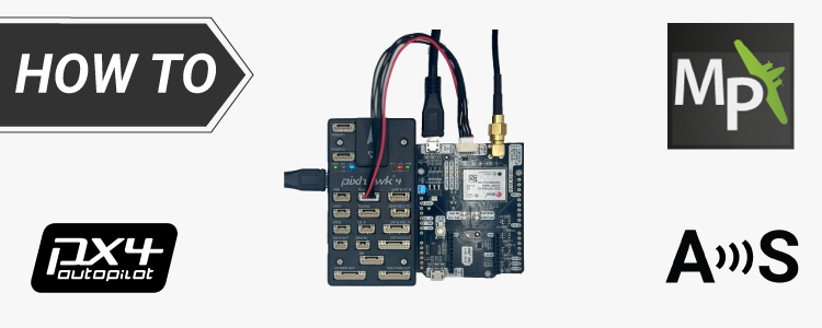
We have created this tutorial for basic setup when you need to connect your RTK receiver powered by the ZED-F9P module to ArduPilot We will walk you through the steps required to configure your receiver, ensure proper communication between the devices, and connect RTK corrections to provide centimeter-level accuracy for your Ardupilot project. Required hardware:

How to configure simpleRTK2B – Basic Starter Kit (ZED-F9P module) and connect it to Ardupilot to get centimeter accurate GPS location Read More »

How-to-use-ucenter-on-Maccover

How to install u-center on macOS and connect GNSS RTK receiver to it

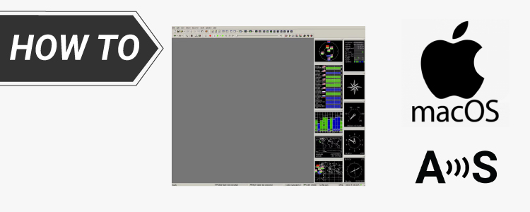
The official u-center software is available only for Windows, but many users operate on macOS computers. This tutorial will guide you through the process of installing u-center on macOS and connecting the simpleRTK2B receiver powered by ZED-F9P module. Note that we didn’t validate the process on M1/Apple Silicon module. The process might be different. If

How to install u-center on macOS and connect GNSS RTK receiver to it Read More »

How_to_connect_RTK_kit_to_Skylark_correction_service-cover

How to connect ArduSimple RTK kit to Skylark correction service to get precise GPS location?

This tutorial explains how to connect your RTK Handheld Surveyor Kit to Swift Navigation Skylark correction service. Skylark correction service offers RTK corrections to achieve 1 centimeter accuracy starting from 69$/month and sub decimeter RTK-SSR from 29$/month for unlimited use. Contact us if you would like to try this augmentation services for FREE. Required hardware:

How to connect ArduSimple RTK kit to Skylark correction service to get precise GPS location? Read More »

Got any questions or requests?
Contact us! We'll answer <24 hours!

Want to learn more about GPS/RTK?

1. Our engineering team will contact you to solve any questions
2. We will keep you updated about promotions and new product releases
3.You will only hear from us when we have important news, we won’t spam your email