Collecting underground 360 imagery by bicycle with RTK+IMU simpleRTK2B-F9R
Contents

Today we are happy to share this customer project that makes use of u-blox ZED-F9R: GNSS RTK and 6-axis IMU fused together to achieve centimeter-level accuracy outdoors, while keeping decimeter-level accuracy inside short tunnels and meter-level accuracy in longer tunnels.
Jim Gayes has been a Google Trusted Partner, capturing Google Street View imagery of outside spaces since 2016 and more recently publishing imagery to the Mapillary mapping platform too. He has currently captured imagery in 8 countries across Europe.
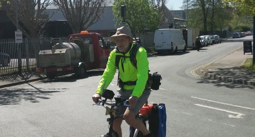
The successful capture of Street View imagery requires a good 360 degree camera in conjunction with good GNSS hardware for accurate image positioning.
While recently working with Sustrans, the charity responsible for the UK’s national cycle network, Jim recognised the high probabilty of loss of GNSS signal when cycling many of their routes. Many Sustrans routes pass through challenging GNSS signal reception environments, often following disused railway lines, which have a lot of thick tree canopy cover and pass under many low and wide bridges. Several routes also have the added challenge of tunnels too.
All the above environmental conditions can result in failed imagery capture as it can’t be georeferenced. Most Street View Ready cameras have built-in GNSS hardware that meets Google’s hardware specification, but is limited in reliability in challenging GNSS signal reception environments.
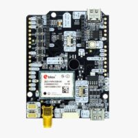
Jim’s solution was to pair up his Labpano Pilot One 360° camera with the ArduSimple simpleRTK2B-F9R module. The IMU and Fusion processing resolves this challenge as it can have a reasonably accurate location calculated by the IMU when all GNSS signals are lost.
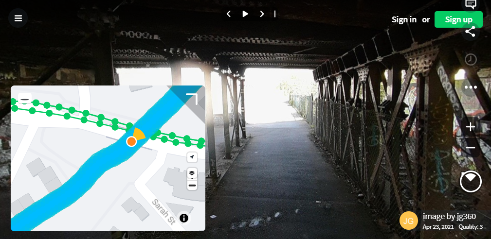
You can see how underground location works while recording with a camera in this long tunnel recorded for Mapillery. This is the Combe Down tunnel, near Bath in the UK. It’s the longest cycling tunnel in Europe, having a length of 1672m. Just click “Play” on the top of the window. The images are very dark as this was just a test without additional lighting, but it represents well the concept of underground location.
In less extreme day to day conditions, the IMU will fill in when the GNSS signal is lost for a few seconds when passing under bridges or sections of dense tree canopy cover. All leading to successful image capture and precise image placement on the map.
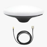
If you are looking into building what Jim’s did, these are the minimum items that you will need:
-
RTK2B Boards
simpleRTK2B Fusion
From 299,00€ Select options This product has multiple variants. The options may be chosen on the product page -
Accessories
Plastic Case for simpleRTK boards
From 39,00€ Select options This product has multiple variants. The options may be chosen on the product page
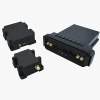
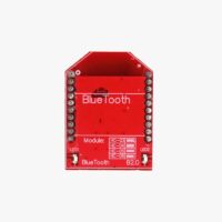
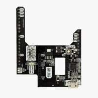
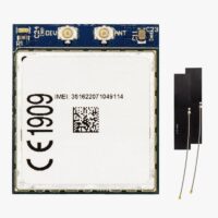
You also might want to get the Bluetooth accessory to connect it to your phone or camera wirelessly. Finally if you want the board to connect on its own to an RTK service provider, you can also get our Shield for Second XBee socket and the 4G modem.
-
Plugins
4G NTRIP Master
175,00€ Select options This product has multiple variants. The options may be chosen on the product page
 and
and 
